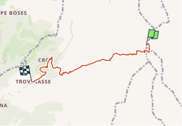

8,2 km | 16,6 km-effort


Tous les sentiers balisés d’Europe GUIDE+


Kostenlosegpshiking-Anwendung
 SityTrail
IGN / Geografische Institute
SityTrail World
Die Welt öffnet sich für Sie
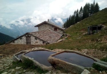
Tour Zu Fuß von 5,4 km verfügbar auf Piemont, Torino, Settimo Vittone. Diese Tour wird von SityTrail - itinéraires balisés pédestres vorgeschlagen.
relation maintained by gianfox (CAI-Ivrea)
Symbol: 858 on white red flag
Website: http://www.caiivrea.it/

Zu Fuß

Zu Fuß
Zu Fuß